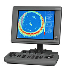
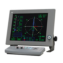
Description
Features
The JLZ-700 color plotter integrates the latest advancements in technology and designed for maximum ease of use.
Detailed Coastline Information
The detailed coastline information includes landmarks with geographical names, allowing easy check on own ship’s current position and fishing grounds.
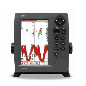
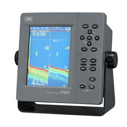
Displaying Various Info
The JLZ-700 allows displaying various types of information, including the topographic features of sea bottoms, user data on fishing grounds and navigational information. JRC uses unique marks, symbols and lines that clearly differentiate fish-breeding reef, sunken ship, sea bottom topology or prohibited districts.